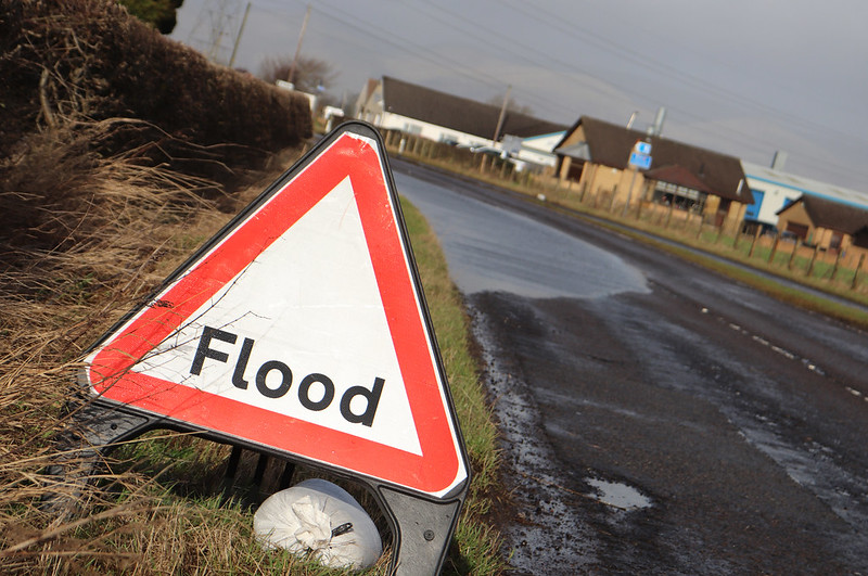
Flooding hotspots across the Falkirk area are to be examined in detail following a wide-ranging assessment.
The Council has identified 130 locations that are potentially vulnerable to surface water flooding and has prioritised a number of these areas to be included in more detailed studies to reduce the risk to property and land.
The proposed detailed studies will assess these areas to enable a fuller understanding of the flood risk of surface water flooding specific to that location.
Bo’ness has been chosen as the first location for this approach and is being used as a pilot study.
This will help with economic assessments of flood damage at a property level, allowing a more thorough costing analysis to be undertaken on potential work to reduce flood risk.
Once the assessments are completed, the Council will produce an operational Flood Plan for the area.
This will formalise emergency action plans for reacting to flood events and will become an integral part of how the Council operates during flood events.
You can read the full report online (Item 8).